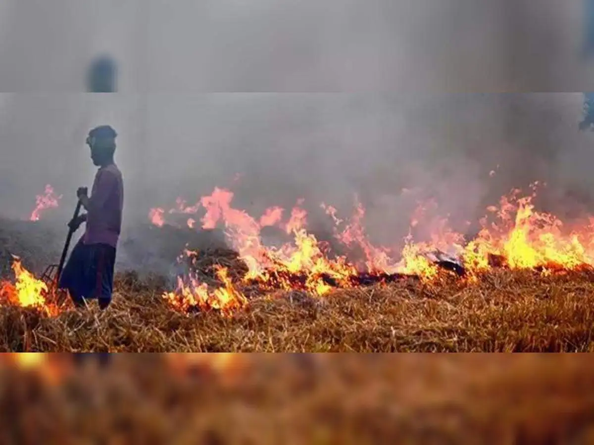
The Indian Space Research Organisation (Isro) has informed the Commission to feed the Control of Air Quality in NCR and Adjoining Areas (CAQM) that farm fire data currently extracted from various satellites may not reflect current ground reality, and added that it will develop in-house algorithms to analyze foreign satellite data to obtain accurate counts.
CAQM shared the space agency’s response to farm fires in the country with the Supreme Court in an affidavit Thursday, following the apex court’s latest directions to obtain data from geostationary satellites rather than NASA’s polar-orbiting satellites and make it available to states for prompt action.
The apex body was alerted to a top NASA scientist’s recent remark on X that farmers are avoiding satellite detection because of the satellite’s restricted ability to collect farm fire occurrences between 10.30 a.m. and 1.30 p.m. The Supreme Court was additionally advised that data from GEO-KOMPSAT 2A, the geostationary Korean satellite, detected fires after NASA’s polar-orbiting mission had passed, raising concerns about the number of farm fires.
In its response to CAQM, Isro stated that the Supreme Court’s concerns are genuine and that efforts are underway to obtain an accurate estimate. The pollution control and monitoring organization has included Isro’s response in the document it filed with the Supreme Court.
Regarding the various satellites accessible in the afternoon or evening, the affidavit stated that INSAT-3DR, Geo-Kompsat 2-AMI, Meteosat-9, Feng Yun-4A/4B, and HIMAWARI-8 from India, South Korea, the European Union, China, and Japan, respectively, are insufficient to provide an accurate farm fire count.
Government institutions, notably the Indian Agricultural Research Institute (IARI) and numerous state remote sensing centers, currently use data from the NASA satellites Suomi NPP, Terra a MODIS, and Aqua MODIS.
However, Isro stated that data from accessible satellites is still insufficient. The space agency cited coarse resolution, the necessity for the development of specific algorithms to analyze the raw data, a lack of validation over India, and a lack of review of the correctness of the data and its interpretation as the reasons.

